
Choose a location, choose a book.
In the spring of 2024, we chose Utah, and the books I chose to read there were two by David Roberts: “In Search of the Old Ones: Exploring the Anasazi World of the Southwest” and “The Lost World of the Old Ones: Discoveries in the Ancient Southwest.”
I had read “In Search of the Old Ones” on a previous trip to Utah when I was eager to see Bears Ears National Monument before it shrank by 85 percent under a coming administration. President Biden restored it, but the shrinkage worry has resurfaced since the Nov. 5, 2024, election.
Roberts’ view of what should be protected, what should be included in a monument, may fall closer to the stance taken by Trump, President Musk’s spokesperson. Give land a name, and trouble follows. From “The Lost World of the Old Ones:”
“National parks and monuments seem inevitably to create a self-sustaining bureaucracy, and rules meant to protect a place turn into finicky and arbitrary interdictions . . .
“. . . turning BLM or National Forest Service land into a park or monument would inevitably mean multiplying the number of visitors many times over.”
If you don’t build it, no one will come. If you don’t name it a monument, fewer will come. Making it a protected public property results in more people knowing about it as they pack their bags to visit it.
Keep it low down, quiet, and Roberts will have it all to himself, or so it seems to me. But I can’t fault anyone for sharing the dream of many outsiders: How can I have this all to myself, to be alone in this beautiful spot?
But he has his limits. He’s outraged that no one protected Glen Canyon and its ancient Native American buildings from the building of a dam. He applauds those who tried to save the ancient Puebloan housings.
In the late 1950s “a gang of Southwestern archaeologists sprang into action. Like the Aswan Dam in Egypt, Lake Powell would drown hundreds of ancient sites that had never been dug or even surveyed. For eight summers, even as the waters crept slowly up the myriad side canyons of the Colorado, these scholars fanned out in a desperate effort to salvage what they could of the incalculable prehistoric heritage that would be lost forever beneath the reservoir, whose raison d’etre was to furnish power to the air conditioners and water to the swimming pools of Phoenix”
Even if Lake Powell were drained now, the adobe buildings would have melted away.
Roberts wants few restrictions or guidance on the ruins left above ground. Even the guides at parks are too much for him. His 1996 book starts with an anecdote about a Mesa Verde guide whom Roberts describes as boring, mechanical and spewing incorrect information about the Colorado ruins. That view got his books temporarily banned on some U.S. sites.
None of what Roberts says squares with what I have seen in government rangers and guides. From Civil War battlefields to other monuments and parks we have visited, our guides have been enthusiastic and willing to answer a wide range of questions. The best lecture on the Battle of the Little Bighorn came from a ranger just before we walked through the battlefield.

Our guide at Mesa Verde this summer gave a lively and well-informed talk about Cliff Palace. Yes, it was crowded, but the National Parks has limited how many people can be in the ruins at a time rather than opening to a overwhelming mob. Our guide kept the attention of her group and represented the ancient music the palace dwellers would have listened to by playing her flute.
I share Roberts’ dislike of crowds. Too many people and the site has lost its soul. If not alone, Roberts visited his ruins with a few friends or an expert that could explain the site to him.
Roberts looked for a way to visit sites between no one else being there and a multitude accompanying him. He suggested something he calls the Outdoor Museum, where visitors may discover an ancient tool or pottery shard but leave it behind “so that later visitors can earn the thrill of their own discovery.”
Sounds nice, but would it hold up to vandals, graffiti scribblers, sloppy, disrespectful visitors? I’d say, “Some protections needed, please.”


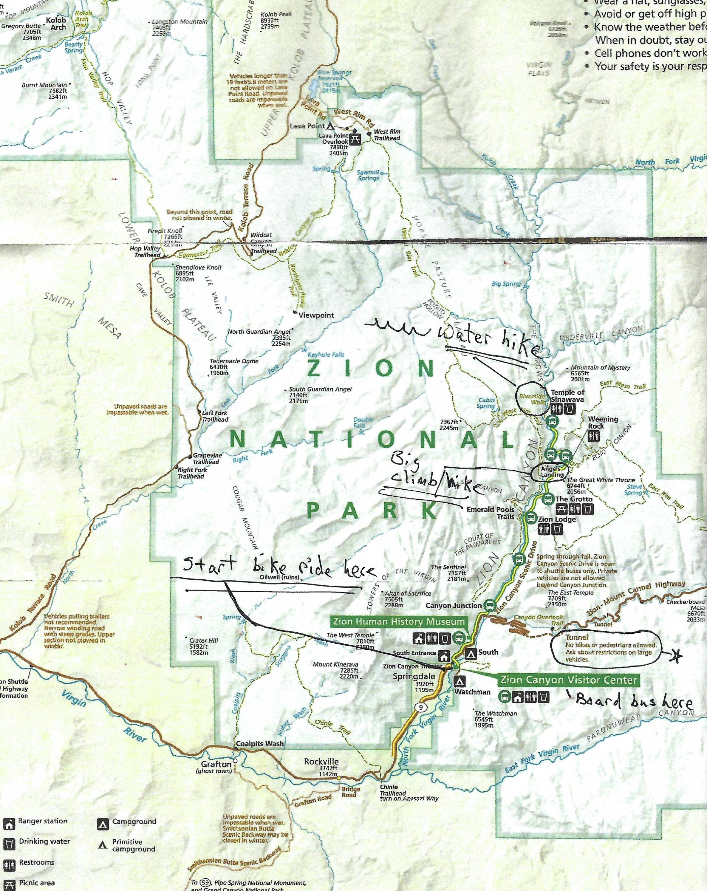
Another Roberts’ way to avoid crowds is to go to some place at the end of a long, strenuous hike, climb or paddle that few will attempt. In “The Lost World,” he writes about Range Creek and Waldo Wilcox, the rancher there who protected and kept secret the ruins scattered along his family’s 12-mile spread along the creek. According to the Moon guide to Utah, the site is now protected by the state of Utah. It only allows 28 visitors a day from May 15 through November 30, can only be entered on foot or horseback, a four-wheel drive vehicle is recommended to drive to the trailhead. Or, you can hire a guide service. It seemed in keeping with Roberts’ prescription until that last phrase.
For me, I’ve come to asking, “What do you want to see and are you willing to put up with whatever it takes to see them? Suffocating crowds? Or physical activity that may be beyond me to get to ‘something even better: a place where I could still get lost; a world in which solitude seemed magical, not lonely; a tableland so vast and complex that it made a mockery of my ambition to dent it’ ”
In 2013, Roberts turned 70 and wondered, “How many more seasons like this will I have? Another ten springs and ten autumns, if I’m careful and lucky?”
He made it eight years, dying in 2021 at age 78.
With 8 billion people on the planet, finding a place to be alone becomes a more difficult ordeal. But the questions Roberts asked himself at age 70 are a reminder to stop sitting season after season, a non-activity as boring and mechanical as that Mesa Verde guide Roberts encountered. Better to figure out what you want to see, fortify yourself against what it will take to see it and go see it in the time you have left.
Keep moving, which should be a shibboleth for outdoor people such as us.

Roberts mentions the Aswan Dam and the effort to save the ancient Egyptian ruins that would have been underwater in Lake Nasser except to an effort, orchestrated by Christiane Desroches-Noblecourt, to save them. A good book on her and that effort is “Empress of the Nile” by Lynne Olson.